Update as of 5 p.m. EDT Tuesday
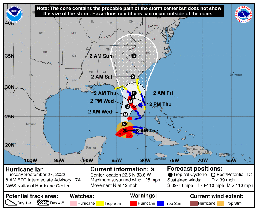
Updates continue to roll in for Hurricane Ian on Tuesday as the center of the storm moved off Cuba and into the open waters of the Gulf of Mexico toward Florida.
The outer rain bands of Ian, classified as a Category 3 hurricane with maximum sustained winds of 120 mph, are already impacting the Florida Keys, with surge already coming onshore in Key West and the western Keys now being included in a storm surge watch.
Hurricane Ian has slowed its forward motion to 10 mph moving due north but is slowly turning to the east. The storm is expected to undergo rapid intensification Tuesday night, reaching Category 4 status at some point Wednesday.
The eastward shift in the track will bring the storm onshore sooner than predicted, with landfall expected between Sarasota and Cape Coral, Florida, on Wednesday afternoon. For Tampa and St. Petersburg, this means a slightly less-than-expected storm surge. Mandatory evacuation orders are still in place for Florida counties from Lewy down to Collier.

Residents in the southern tip of the Florida Peninsula are being asked to prepare for tornado threats as the first bands of Hurricane Ian come ashore. A tornado watch is also in place from the Florida Keys up through Fort Myers and West Palm Beach.
The governors of Florida, Georgia and South Carolina have released preparedness statements as the storm draws closer to Florida. Florida Gov. Ron DeSantis has authorized 5,000 National Guard troops to mobilize before the hurricane arrives. DeSantis has also waived restrictions for truck traffic bringing in emergency relief.
Gov. Brian Kemp has also issued a state of emergency for Georgia and opened the state emergency operations center to get ahead of any impacts from Hurricane Ian.
On Wednesday, the Federal Emergency Management Agency will conduct a news conference at 10 a.m. EDT to provide an update on preparations for the hurricane’s arrival.
Update as of 8 a.m. Tuesday
Hurricane Ian strengthened to a Category 3 storm early Tuesday morning, making it the second major hurricane of the Atlantic hurricane season.
Ian hit the western half of Cuba overnight Monday with winds just over 100 mph and extremely heavy rainfall. As the storm moved over the island, it actually gained strength and now has wind speeds sustained at 125 mph. Ian is moving due north at a slow forward speed of 12 mph according to latest recconsinance from the National Hurricane Center.
Ian is expected to slow down Tuesday afternoon once it moves completely over the Gulf of Mexico and rapidly intensify to a Category 4 or 5 by Tuesday evening; the sea surface temperatures in the Gulf remain extremely warm, which will support the rapid intensification.
As forecast models come into better agreement with the track of the storm, landfall is expected right around Tampa, Florida, Wednesday night into Thursday morning. If Ian makes landfall in Tampa, it would be the first major hurricane to do so in over a century.

A storm surge into Tampa Bay is particularly dangerous as the orientation of the bay does not allow for water to recede quickly. The position of Ian coming onshore also makes the surge situation worse as the northeast quadrant of a hurricane will push the largest amount of water inland.
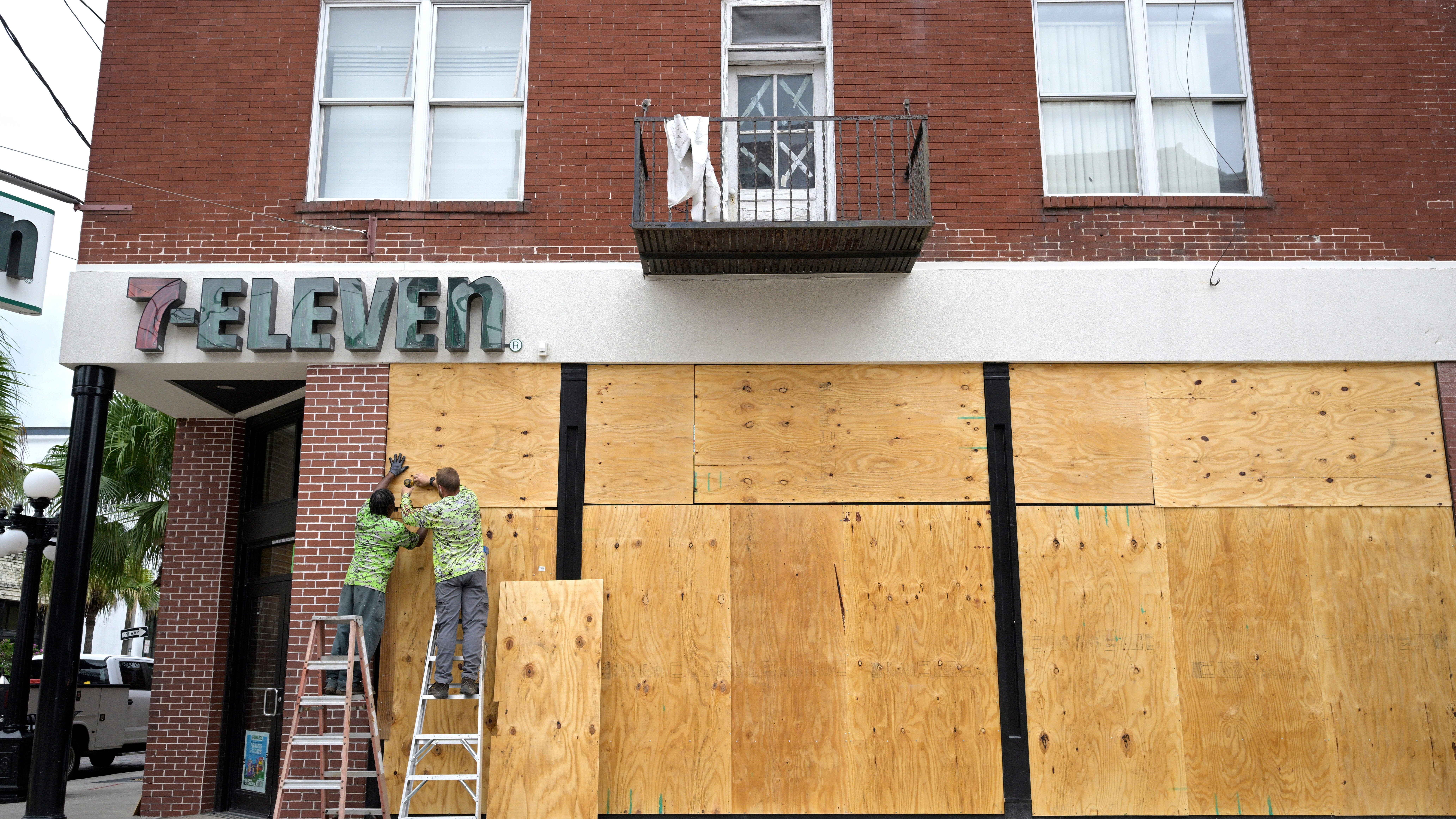
Residents in Tampa and surrounding areas have been ordered to evacuate due to the expected surge and urban flooding that will come from heavy rainfall as Ian moves onshore. Other parts of the western Florida coast are under voluntary evacuation orders.
The next forecast update on Ian will come in from the National Hurricane Center at 11 a.m. ET Tuesday.


