Old Man Winter returns to eastern California today as snowfall develops in the Sierra Nevada.
It’s been raining there this morning, and it’s been heavy just to the west in the Sacramento Valley where flash flooding is possible. Gradually, the rain will change to snowfall today in the high elevations of the Sierra Nevada, continuing tonight. Truckers will have to deal with wet roads turning slushy, then snowy.
Most of the accumulating snowfall will happen above 6,000 feet in elevation. Twelve inches or more could pile up in several locations, with 5 to 10 inches at Donner Pass (Interstate 80) and Echo Summit (US-50). Look for 5 to 10 inches in the Mariposa, Madera and Fresno County portions of the southern Sierra Nevada, as well as wind gusts up to 60 mph on exposed ridgetops.
In the greater Lake Tahoe area, total snow accumulations will reach 1 to 4 inches for passes between 7,000 and 8,000 feet, 4 to 8 inches for passes above 8,000 feet, and little to no accumulation below 7,000 feet. Wind gusts could be as high as 90 mph on the Sierra ridges near Lake Tahoe.
Drivers should expect periods of reduced visibility, travel delays and chain controls. Check chain laws here for the latest updates on winter driving. The National Weather Service (NWS) has issued a winter storm warning for much of the Sierra Nevada range.
Tuesday and Wednesday, the snow chances move into parts of Nevada and the northern Rockies.
Other notable weather
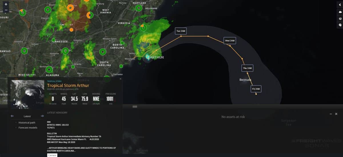
Over the weekend, Tropical Storm Arthur became the first named storm of the 2020 Atlantic hurricane season. This is the sixth consecutive year with a named storm prior to the official start of the season, which is June 1.

Arthur is spinning off the North Carolina coast, and will move out to sea later today or this evening. But before it does, it will continue to drop heavy rainfall on the Outer Banks, and windy conditions will produce a few feet of storm surge and may knock down trees and power lines. Storm surge, plus the downpours, will increase the odds for flooding. The NWS has issued a tropical storm warning for much of eastern North Carolina from Surf City to Duck, as well as Pamlico and Albemarle Sounds.
Have a great day! Please stay healthy and be careful out there!


