Spring usually conjures up images of blooming flowers and promises of new beginnings. But for millions of people in the nation’s heartland who are still dealing with the aftermath of historic flooding, turning a new leaf will be a huge challenge.

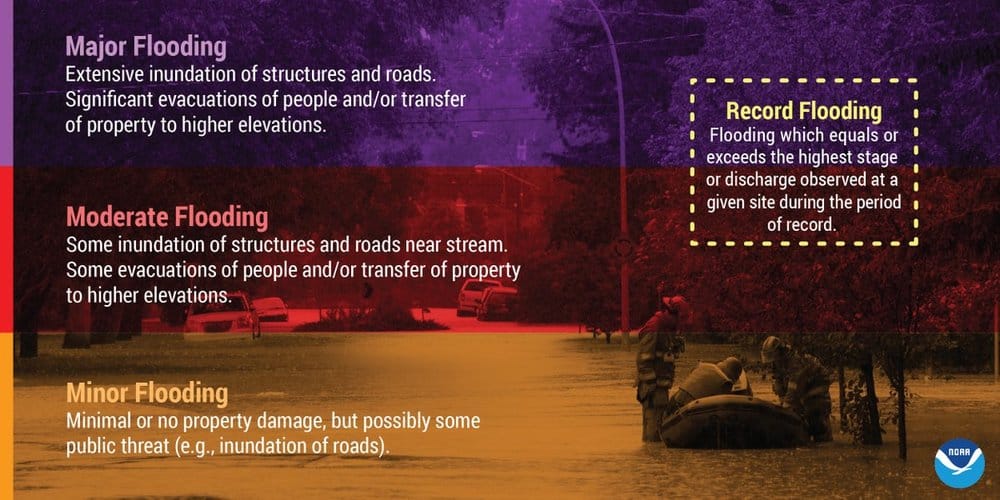
The National Oceanographic and Atmospheric Administration (NOAA), the parent organization of the National Weather Service (NWS), released its spring outlook on Thursday, and it doesn’t look good. Almost two-thirds of the lower 48 states face an elevated flood threat through May, with the potential for major or moderate flooding in 25 states. The majority of the country is expected to experience above-average precipitation this spring, increasing the flood risk.
Portions of the United States – especially the Corn Belt in the upper Mississippi and Missouri River basins – have already experienced record flooding this year. This includes Iowa, Minnesota and Nebraska. The flooding was caused by a combination of late winter snowfall, followed by rapid snow melt and heavy rain in areas where soil moisture has been high. In some areas, ice jams made the flooding worse. Meteorologists from several NWS offices worked with local communities to provide decision-support services, as well as special briefings to emergency managers and other local, state and federal leaders. The goal was to ensure the highest level of readiness before the flooding began, and the relationships continue in order to best plan for the weather and other environmental conditions in the coming months.
Additional spring rain and melting snow will prolong and expand flooding, especially in the central and southern U.S. As this excess water flows downstream through the river basins, the flood threat will become worse and geographically more widespread.
“This outlook will help emergency managers and community decision-makers all along the nation’s major waterways prepare people and businesses for the flood threat,” said Neil Jacobs, Ph.D., NOAA’s acting administrator. “In addition to the safety aspects, our rivers are critical to the economic vitality of the nation, supporting commerce, recreation and transportation. NOAA forecasts and outlooks help people navigate extreme seasonal weather and water events to keep the country safe and moving forward.”
Record winter precipitation across a large swath of the country has set the stage for the high flood risk. The upper Mississippi River and Red River have received nearly 200 percent of their normal rain and snow.
The areas of greatest risk for moderate to major flooding this spring include the upper, middle and lower Mississippi River basins, including the mainstem Mississippi River, Red River, the Great Lakes, eastern Missouri River, and the basins of the lower Ohio River, lower Cumberland River and the Tennessee River. Much of the U.S. east of the Mississippi River, in addition to portions of California and Nevada, are at risk for minor flooding.

“The extensive flooding we’ve seen in the past two weeks will continue through May and become more dire and may be exacerbated in the coming weeks as the water flows downstream,” said Ed Clark, director of NOAA’s National Water Center in Tuscaloosa, Alabama. “This is shaping up to be a potentially unprecedented flood season, with more than 200 million people at risk for flooding in their communities.”
Locally heavy rainfall, especially associated with thunderstorms, can occur throughout the spring and lead to flooding even in areas where the overall risk is considered low. In the western U.S., snowpacks at higher elevations may continue to build over the next month, and the flood risk will depend on future precipitation and temperatures.
Look for future weather updates on the FreightWaves website.


