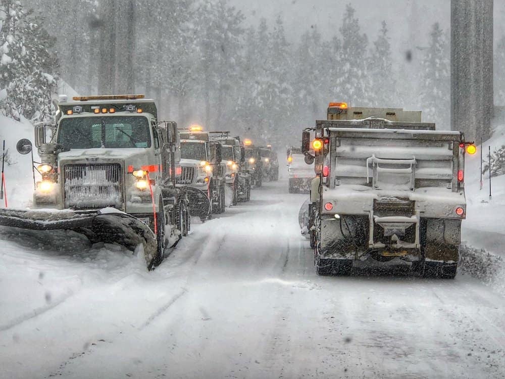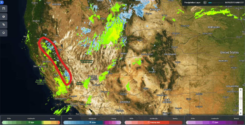
Tons of snow the past several months have catapulted parts of the Sierra Nevada Range into the record books, busting a year-long drought at the same time. Now that we’re halfway through April, we’re over the hump as far as the meat of the snow season. But many peaks got a dusting the past couple days (April 15 and 16, 2019) – a dusting, that is, compared to storm totals from earlier this year.

Adding It Up
Many ski resort owners in the region reported record February snowfall. In late March, Mammoth Mountain and Squaw Valley each had more than 50 feet of snow on the ground. The latest round of snow this week only dumped up to six inches in many spots, but as more snow melts throughout the spring, the liquid equivalent will be recorded as part of the total precipitation statistics.
Liquid equivalent – how much water results from snow melt – varies from storm to storm. The general rule of thumb is that 10 inches of snow melts into one inch of water. But sometimes the snow is light, dry and fluffy, requiring more of it to melt down to an inch of water. In these cases, the snow-to-water ratio may be as high as 15-to-1 or 20-to-1. In other instances, the snow is wet and heavy, so it takes less of it to melt down to one inch of liquid. Therefore, the snow-to-water ratio may be as low as 5-to-1. The total precipitation for a region is rainfall plus the liquid equivalent snowfall.
David Rowe, a meteorologist at the National Weather Service (NWS) office in Sacramento, California, told FreightWaves that, on average, the northern Sierra Nevada receives total average precipitation of 51.8 inches for a season. The season, or “water year” in California, runs from October 1 through September 30. Through March 2019, this season is up to 60.6 inches (based on the average across eight reporting stations), placing it as the fourth-wettest season on record. Here’s how it compares to the top three wettest seasons:
• 2016-2017 94.7 inches
• 1982-1983 88.5 inches
• 1997-1998 82.4 inches
• 2018-2019 60.6 inches
Keep in mind that the current water year still has six months to go, so its season could move up in rank.
In the central and southern Sierra Nevada, handled by the NWS office in Hanford, California, this season has seen around the same amount of average precipitation as the northern region so far, according to meteorologist Brian Ochs. Ochs told FreightWaves that Lodgepole (Sequoia National Park) and Tuolunme Meadows (Yosemite National Park) still have five to six feet of snowpack on the ground, respectively. Ochs also said that, through March 2019, the average precipitation throughout central and southern regions is 151 percent above normal.
Planting The Seeds
The hydrologic cycle, also known as the water cycle, involves the continuous circulation of water in the Earth-atmosphere system. The water is the motion of the water from the ground to the atmosphere and back again, through the processes of precipitation, transpiration and evaporation.

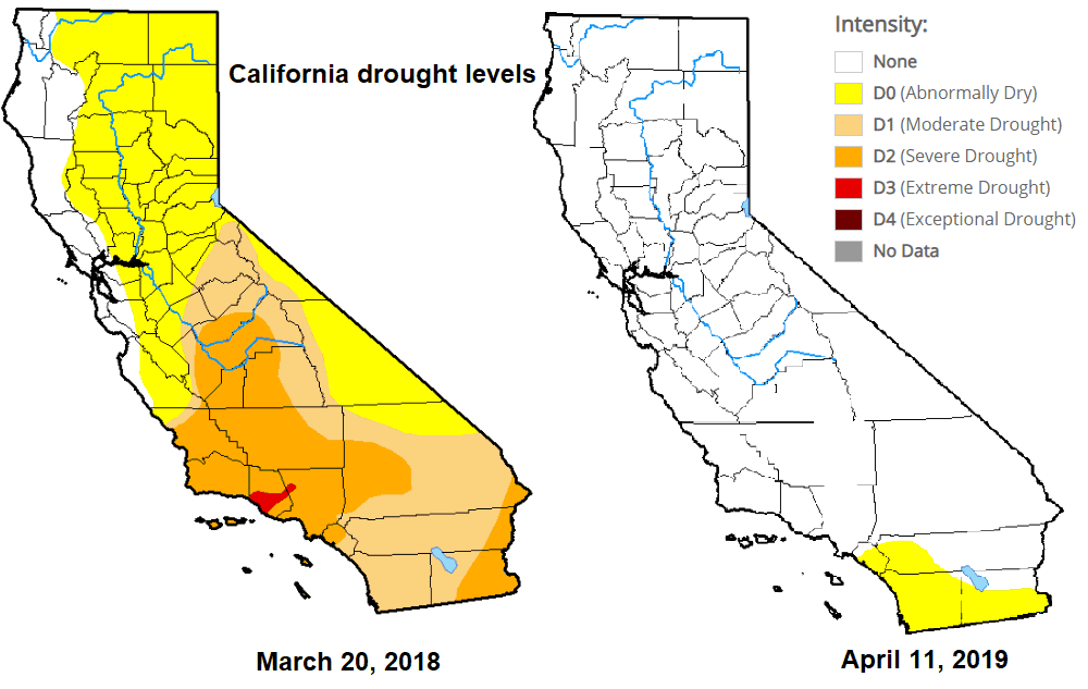
All of the Sierra Nevada was in a drought, to varying degrees, in March 2018. A little more than a year later there’s virtually no drought left in the entire state of California. The stellar snowfall this season in the high elevations, along with plenty of rain in the lower slopes, is great for agriculture!
During the winter months, snowfall serves as an important source of fresh water. During the spring, melting snow helps replenish rivers, lakes and reservoirs. This adds much needed moisture to the soil and helps refill underground aquifers. This is critical for successful crops worldwide, including the foothills of the Sierra Nevada, where farmers grow various tree and vine fruits, nuts, vegetables and ornamental plants.


